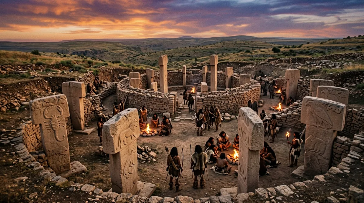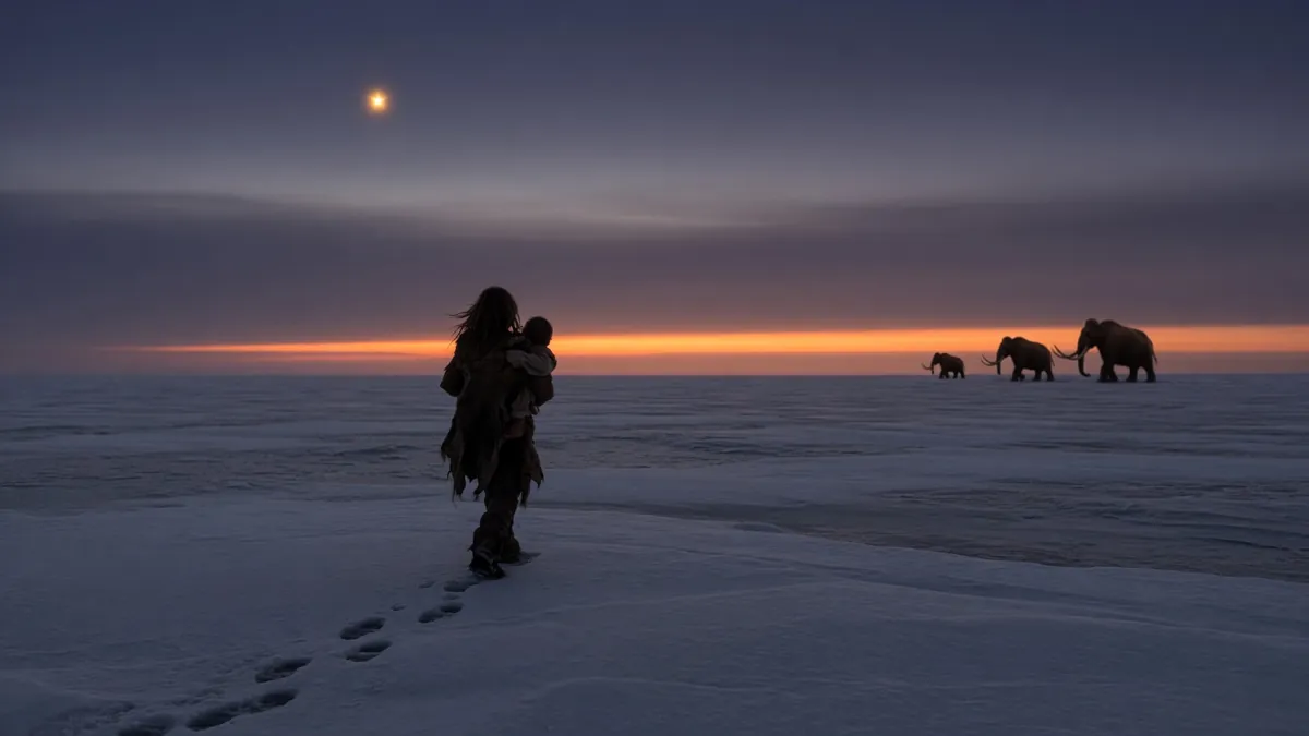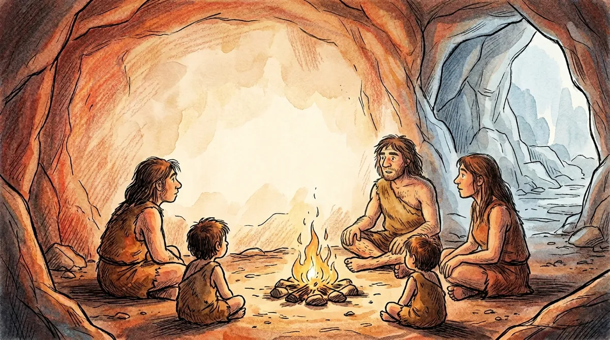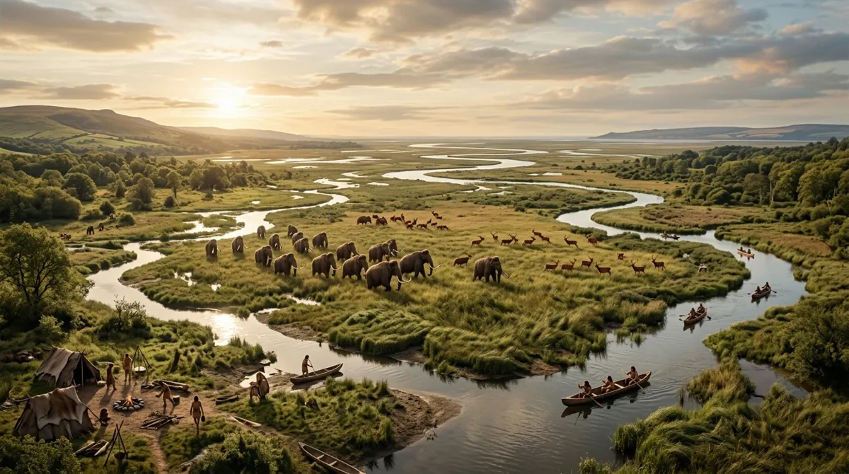
Ten thousand years ago, you could walk from London to Amsterdam without crossing a single drop of ocean water. Beneath the cold, grey waves of today's North Sea lies a drowned prehistoric world. It was called Doggerland — a vast, fertile expanse of winding rivers, lush hazel and oak forests, game-rich marshes, and roaming mammoth herds that formed the true heartland of Mesolithic Europe.
Home to thousands of human hunter-gatherers, Doggerland was not a barren wasteland, but the most desirable real estate in prehistoric Europe. Yet, within a few millennia, it was completely swallowed by the ocean, permanently severing Great Britain from continental Europe.
The Ice Age Paradise
During the height of the Last Glacial Maximum (cêrca of 20,000 years ago), massive ice sheets locked up so much of Earth's water that global sea levels were roughly 120 meters (400 feet) lower than present. Great Britain was not an island; it was the western highlands of a continent-sized landmass connected to modern-day Denmark, Germany, and the Netherlands.
As the glaciers retreated around 12,000 BC, Doggerland transformed into a paradise. A sprawling landscape of freshwater lakes, estuaries, and river valleys emerged. Herds of wild horses, red deer, wild boars, and the last surviving mammoths roamed the plains. For Mesolithic humans, the region offered unprecedented abundance: salmon-filled rivers, waterfowl, shellfish, and edible plant life.
Artifacts Dragged From the Ocean Floor
For over a century, the existence of Doggerland was confirmed by Dutch ocean bottom-trawlers pulling heavy nets across the Dogger Bank. Fishermen repeatedly dragged up fossilized mammoth skulls, lion jaws, and saber-toothed cat teeth from the seabed. In 1931, a commercial trawler pulled up a lump of peat containing a delicately carved 12,000-year-old barbed bone harpoon point.
Later dredging operations recovered carved antler mattocks and a 13,000-year-old human skull fragment. Modern geophysicists using sub-bottom seismic reflection technology mapped the ocean floor, revealing entire drowned landscapes: river channels as wide as the Thames, submerged hills, extinct lake basins, and fossilized forests preserved beneath the marine silt.
The Storegga Mega-Tsunami
As global temperatures rose, melting ice sheets gradually flooded the lowlands of Doggerland, shrinking the continent into a series of low-lying archipelagos. Then, cêrca of 6200 BC (8,200 years ago), disaster struck.
Off the coast of southwestern Norway, an underwater continental shelf spanning 300 kilometers collapsed in one of the largest underwater landslides in geological history: the Storegga Slide. Trillions of tons of rock and sediment crashed down into the ocean trench, displacing vast volumes of water and unleashing an apocalyptic tsunami across the North Sea.
An 80-foot (25-meter) wall of water surged across the low islands of Doggerland at hundreds of miles per hour, sweeping away entire human encampments, forests, and animals in a single afternoon. When the floodwaters receded, Doggerland was submerged forever, leaving Great Britain an isolated island for the first time in human history.
Scientific References and Sources
- Gaffney, Vincent, et al. Europe's Lost World: The Rediscovery of Doggerland. Council for British Archaeology, 2009.
- Coles, B.J. Doggerland: a Speculative Survey. Proceedings of the Prehistoric Society 64 (1998).
- Bondevik, S., et al. The Storegga Slide Tsunami—Deposits, Run-up Heights and Radiocarbon Dating. Quaternary Science Reviews (2005).
- Hill, Jon, et al. Was Doggerland destroyed by the Storegga tsunami? Ocean Modelling 84 (2014).